Bushwhack Hike from Paine Mountain to Irish Hill
Mon Jun 22 2026 Bushwhack Hike from Paine Mountain to Irish Hill by Phyllis Rubenstein
On Monday, June 22, 2026, 4 of us hiked over 8 miles from Paine Mountain to Irish Hill. We left cars at the Irish Hill Trailhead in Berlin and drove to the Shaw Outdoor Center at Norwich University, where we began.
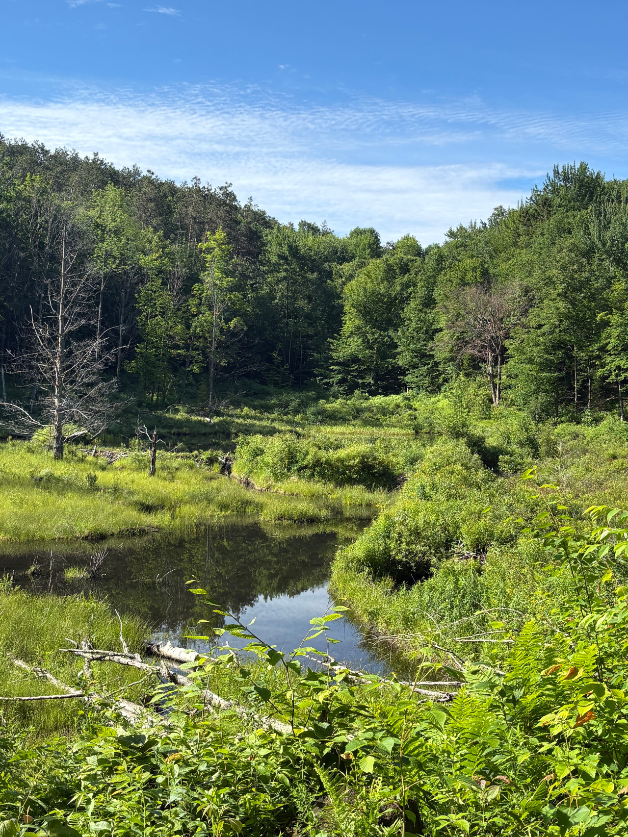
The ascent takes one through a lovely forest to a meadow, and then returns to the forest. Along the way, we heard many birds, including hermit thrushes, saw numerous ferns along “Fern Alley,” and crossed the outflow of Barker’s Pond on well-placed stones. We reached a new spur trail to a view of Barker’s Pond, where we stopped to look for wildlife. Although there were no moose in the old beaver pond, we did see a mallard. Back on the trail, there were several more turns, and after another mile or so, we arrived at the wooded summit of Paine Mountain.
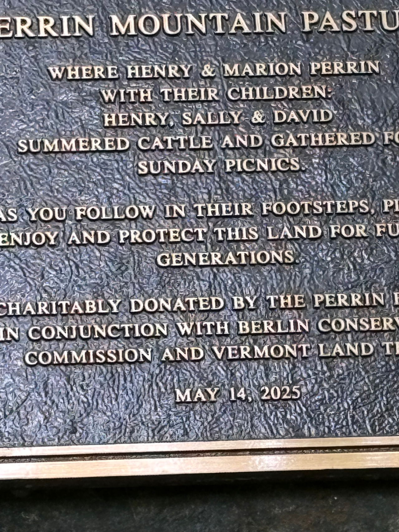
Between that summit and Irish Hill, there are three unnamed knobs. We first descended on a densely, overgrown woods road, where I began to question my bearings. However, we finally reached the junction of a woods road that I had been looking for, ascended a short distance, and then began the bushwack, heading north into the woods. We easily found a faint footpath, which skirted above an old beaver pond. Suddenly, a trail runner caught up to us. He was as surprised to see us as we were to see him. He told us there is a good network of woods roads, which support the relatively new maple sap lines in the woods, most of the way to Irish Hill. Rather than sticking to the height of the ridgeline as I had planned, we tried to stay on the old woods roads. More quickly than I expected, we reached the dirt road south of the summit of Irish Hill. From there, it was an easy hike to the summit and down to the old Darling Road, where there is a plaque commemorating the 2025 donation of land by the Perrin Family to the Berlin Conservation Commission and the Vermont Land Trust.
Along the old Darling Road, both sides of the trail were so overgrown that it was difficult to locate the foundations for the former Stewart Farm barn and homestead. Soon enough, however, we were across a bridge that was rebuilt in 2021 and back to the parking lot. By starting early in the morning, we successfully avoided mid-afternoon rain showers. This hike is described in William Osgood’s Paine Mountain Trail Guide, which I purchased years ago at the Northfield Public Library. It is a wonderful resource. Since the publication of the Trail Guide, the signage up to Paine Mountain has improved considerably, new mountain bike routes have been developed, and at least one trail has been re-routed.